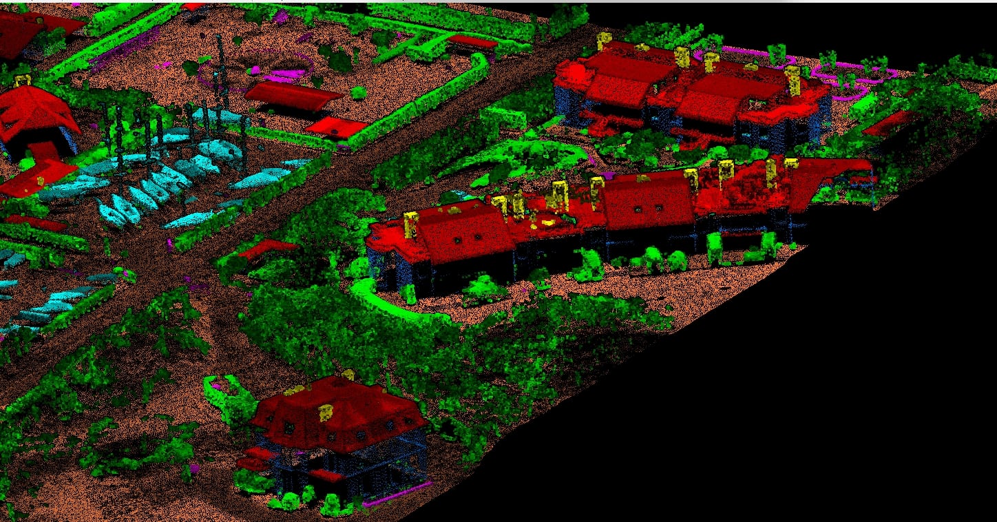
Aerial lidar
Aerial lidar advance classification
Airborne LiDAR Classification is a cost-effective technology for precise measurement of surface features on Earth. Aerial LiDAR data is obtained by mounting a sensor device on an Aircraft or UAV, allowing for data collection over a broader range of terrains. This technology proves invaluable for applications requiring an aerial perspective of extensive areas. Topographic LiDAR employs near-infrared lasers to map terrestrial regions, whileBathymetric LiDAR uses green light capable of penetrating water to map underwater features.
Smeaton Technologies offers ALSData Processing Services tailored to a variety of industries, delivering swift, high-density, and precise data solutions. Our services include feature classification for Transmission and Distribution Powerlines, Ground, Buildings, Roads, and other features. Besides specialize in generating Contours, DEMs (Digital Elevation Models), DSMs (Digital Surface Models), DTMs (Digital Terrain Models), and the extraction of 2D and 3D features with the utmost accuracy.

