- Peenya, Bangalore, India
- +91 99163 02179 / +91 89047 56960
- info@graventechnosolution.com
GravenTechnoSolution
Toward geospatial world
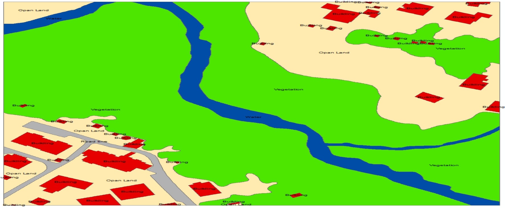
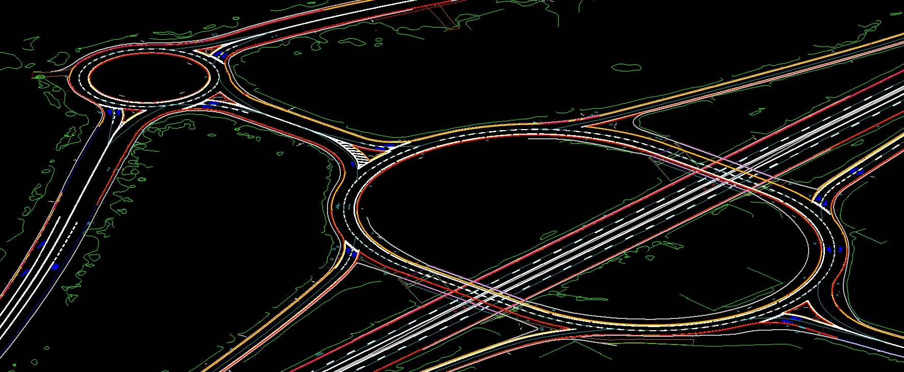
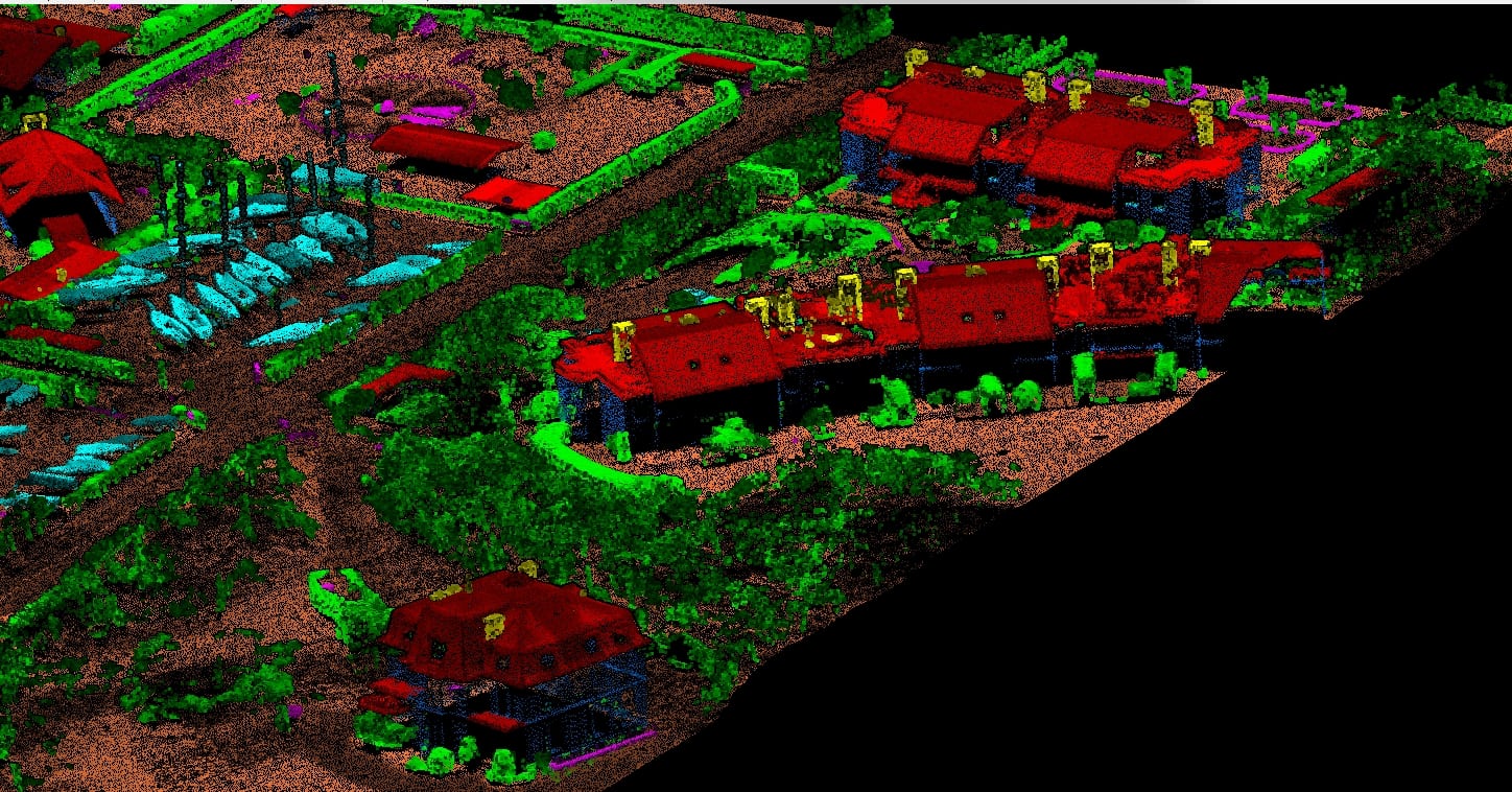
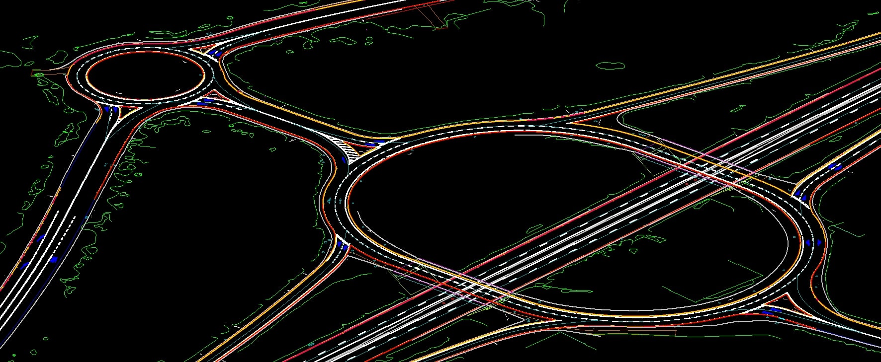
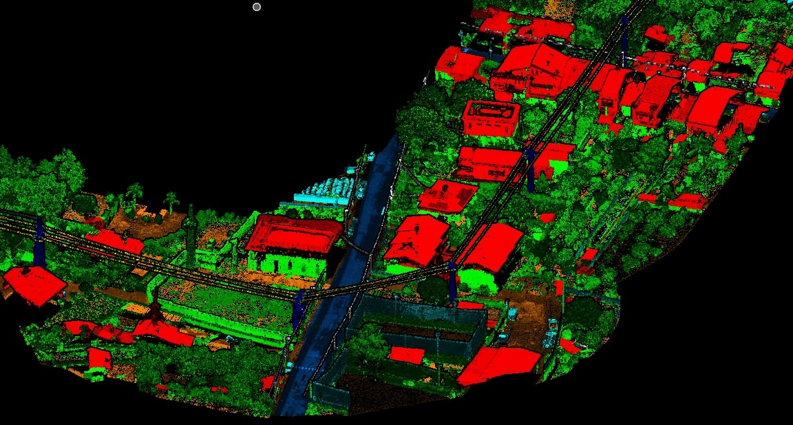
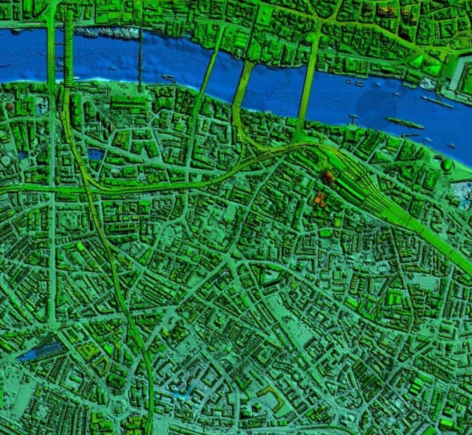
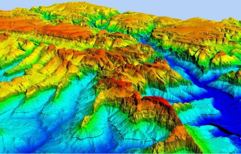
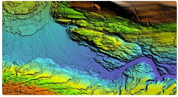
Advanced Classification, Power line Classification, Mobile Lidar, Ortho Generation creation and GIS, Mobile Mapping, ground classification, DEM, DTM, DSM
Mission
We are committed to extend GIS and LiDAR data processing services and serve with a team of dedicated, trust worthy GIS Professionals, who can give innovative solutions in a time bound manner.
Vision
Our vision is to give technology oriented solutions in the Field of Geography and Geology by utilizing the Software applications for processing "GIS & LiDAR Data".
OUR STORY
Connecting things, It's all about people.
Graven techno solution is a Indian geospatial organization established on 2023 headed by technocrats have over 5 years of experience, commitment towards our stakeholder's interest makes us more reliable, cost-effective and costumer centric.

5+
Years of Experience


