DSM
DSM
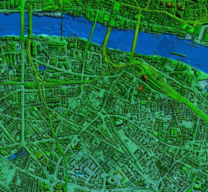
In LiDAR, DSM stands for Digital Surface Model. It is a type of elevation model that captures the natural and built features on the Earth's surface. DSMs are useful in 3D modeling for telecommunications, urban planning, and aviation.

In LiDAR, DSM stands for Digital Surface Model. It is a type of elevation model that captures the natural and built features on the Earth's surface. DSMs are useful in 3D modeling for telecommunications, urban planning, and aviation.
